Greece Part One: Mount Olympus, Sea to Summit to Sea
Tom Hill and Rob WM recently took a trip to the mountains of Northern Greece, here is Rob’s take on the beginning of their trip:
Mount Olympus, the home of the Ancient Greek Pantheon,
Visible from the cities of Larissa to the South and Thessaloniki, in the old
Kingdom of Macedonia across the bay. Its summits often wreathed in cloud, the
mountain rises up out of the blue waters on the Mediterranean Sea and soars in
to the heavens. About its feet the little pan-tiled villages and shady olive
groves that lend rural Greece a picturesque quality, rather like Cezanne’s
paintings of France and Spain.
|
|
|

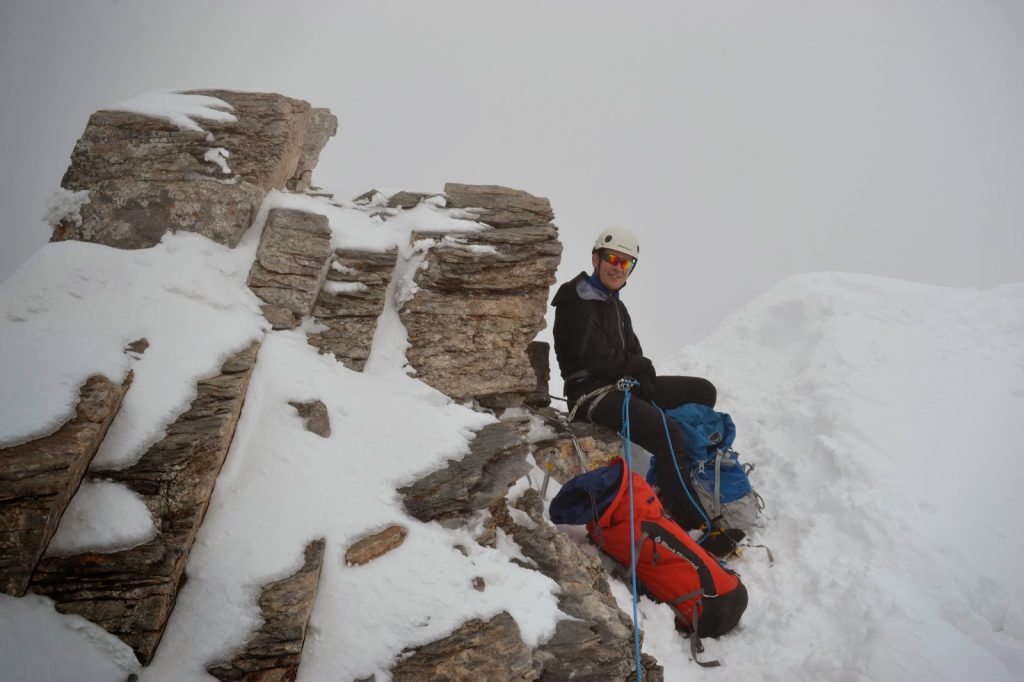
At 2918m, Olympus is the highest mountain in Greece and stands about 18km from the coast at Plaka Litochoro as the crow flies. The first three days of our trip to Greece were spent walking from the edge of the sea to the summit of the highest of the major peaks of Olympus, Mytikas, and back again.
and organised and myself and Tom packing our shared hold-luggage bag in my lab
in Queens Building on Wednesday. On Thursday evening we left on the latest
possible train to Stansted and spent a miserable few hours in the airport
before the gate to our flight opened at about 5 on Friday Morning. Friday
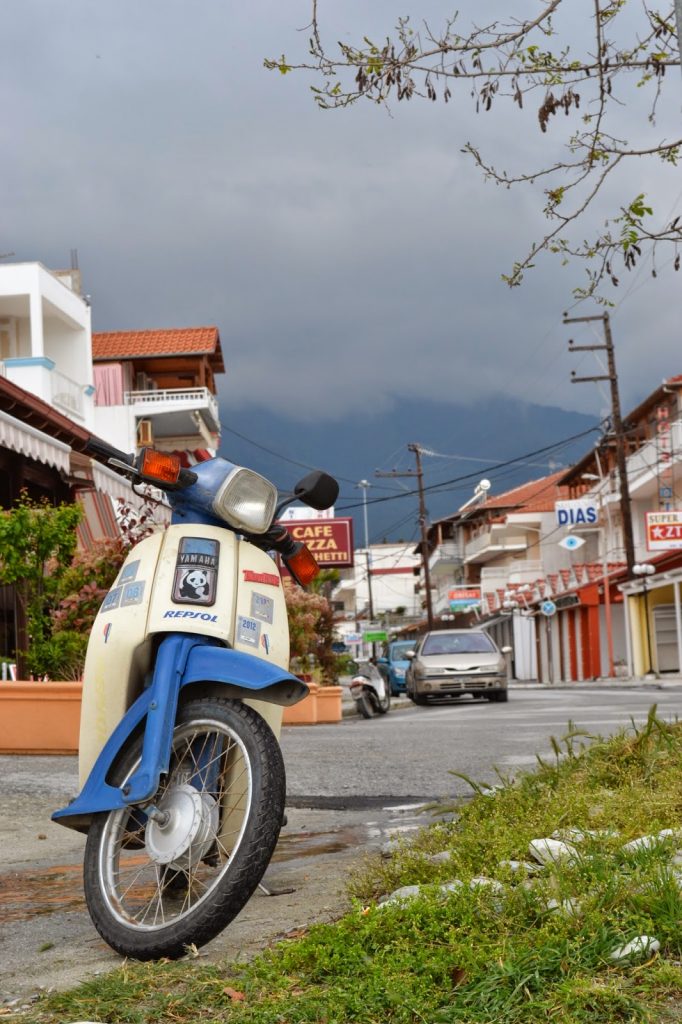
afternoon was dull and slightly rainy as, exhausted, we threaded our little
hire car through the deserted streets of a sea-side resort ghost town. Out of
season we found the only cheap accommodation that was still open, organised our
food and gear and tried to make up for the night spent in the airport.
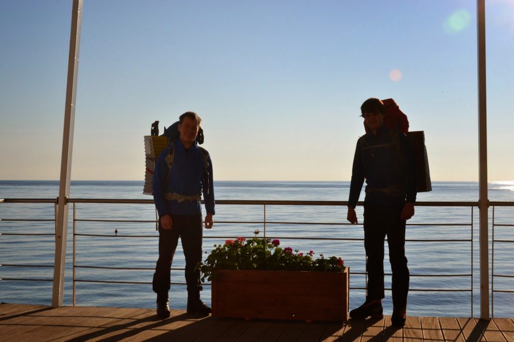 |
| By the sea |
after 0820h we set off from the seaside verandah at the bottom of the campsite,
pounding up the main road to Litochoro in our heavy mountaineering boots,
already baking in the Mediterranean sun that beat down on the olive groves and
isolated houses and workshops to either side of the road. From the town we were
already looking down at the sea behind us, but the snow capped summits of
Olympus appeared no closer ahead.
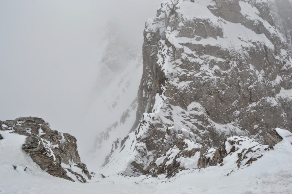
Litochoro lies at the entrance to the Enipea Canyon, from which some of the
waters collected by Olympus are drained towards the sea. The gorge is about 8km
long before it opens out into a valley head below the main summits and cuts its
way through outlying mountains well over 1000m in height. Down its length
tumbles a steeply descending river, whose waters form beautifully clear pools,
lightly tinted blue. The less rocky sides of the canyon are covered by beech
woods and forests of larch, spruce and cedar, clinging on to the hillsides,
whilst the steeper parts form sheer walls of variously tinted limestone, often
many hundreds of metres high and punctuated by dramatic pinnacles and vast
hanging caves. The path cannot follow the river because the terrain is often
too steep, so it winds its way up and down the shallower southern flanks of the
canyon, occasionally descending to the river and crossing timber bridges to the
northern bank for a short time. In this way, an extra 750 to 800 metres of
ascent (and corresponding descent) is added to the route between Litochoro and
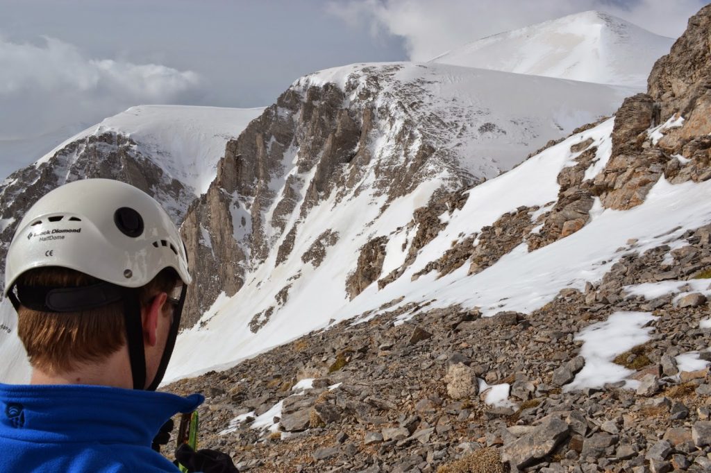
Prionia, where the tourist road up the valley ends. At the roadhead there is
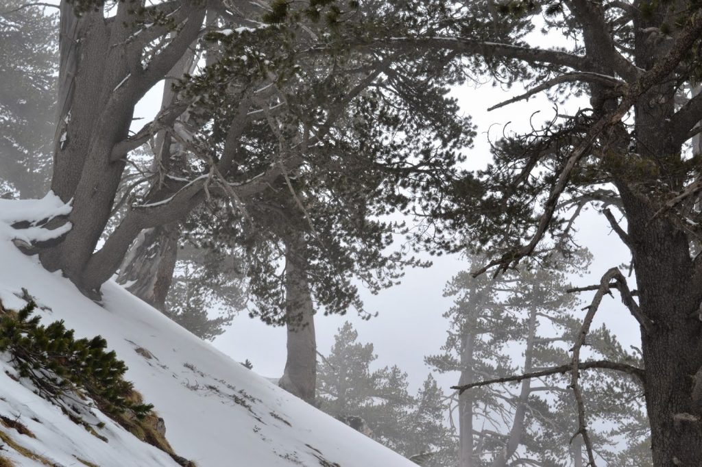
little sense that one is in meditterranean Greece, as steep fir tree clad
mountainsides give way to the snows and the cloud base hangs in the trees,
concealing from us the high peaks towering overhead.


 Previous Post
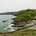 Next Post