Post Morocco: A Trip to North Wales
Having just returned from the stunning High Atlas of
Morocco, I had a window of a week before term started for real. And with the
weather looking pretty decent, what better way to spend it than to attempt the
Paddy Buckley Round in Snowdonia, I thought! This seemed like a good idea at
the time as I felt physically fitter from being above 3000 for a substantial
period, however the reality proved rather different.
 |
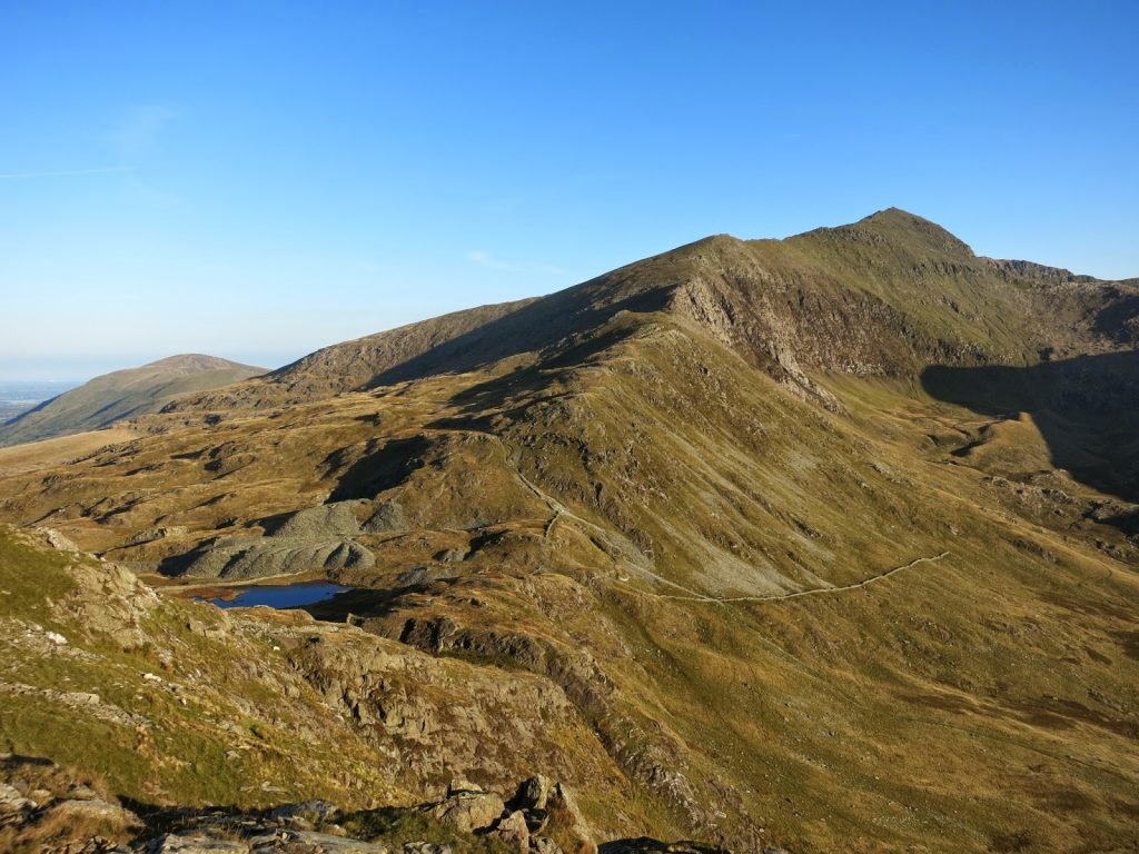
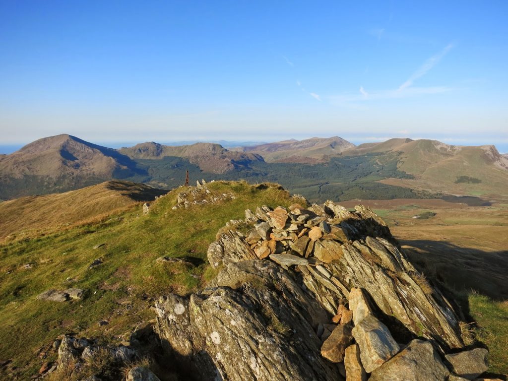
| Summit of Moel Eilio |
The Paddy Buckley round is a 24 hour fell running challenge
(I didn’t attempt to run it!) similar to that of Scotland’s Charlie Ramsey
round and the more famous Bob Graham Round in the Lake District. The stats are
similar too, with 65 miles and 8600m of ascent to complete, it’s considered tougher
than the Bob Graham time-wise by about an hour. The challenge encompasses the
three main Northern Snowdonia mini mountain ranges – the rolling yet high Carneddau,
the mighty Glyders and the famous Snowdon Massif as well as some of the lesser
explored Molwyn region and part of the gorgeous Nantle Ridge. More information
and the full route can be found here: https://web.archive.org/web/20180403174214/http://www.gofar.eclipse.co.uk:80/paddybuckleyround.html
 |
| Mist clearing as I reach the track |
The plan was to start in Llanberis on Saturday 20th
Sept and walk the circular route clockwise, finishing back on Wednesday
afternoon (~4 days) I’d carry a backpack and camp. After a 5am start from
Bristol the train somehow managed to become 20 minutes late on its travels up east
Wales and along the lovely north coast (with the exception of Colwyn Bay that
is) resulting in me missing my bus connection at Bangor by 2 minutes – next bus
wasn’t for another 2 hours. Oh well, what better excuse to pop to the local
spoons for a pint and a much needed pulled pork sandwich!
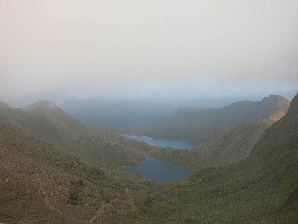 |
| The Snowdon Horseshoe to the east |
The first part of the route involves climbing Snowdon via
Moel Eilio and descending to the South via Yr Aran, and the unpathed steep
terrain beyond. By the time I got underway from Llanberis it was already 2.45
pm and my chances of reaching Rhyd Ddu by nightfall seemed to be slimming by
the minute. The ascent of Moel Eilio was a shock to the system, with thick
cloud and numerous sheep being totally different to the barren and scorching
Moroccan landscape where mules reign supreme and the views can extend for
literally hundreds of miles. Due to my walking boots coming to the end of their
working life in Morocco we decided to ceremonially burn them using up surpass
fuel in the large Atlas valley town of Imlil. Even though I had walked in my
dad’s boots (which I were borrowing) many times before, I must have tried every
combination of socks and blisters plasters in the first 2 miles of the hike
making the start even more frustrating. After a sporadic slog top of Moel Eilio
I finally found a rhythm and made swift progress along to the dip where the
round meets the well-trodden Snowdon Ranger Path.
 |
| Nearly there! |
The going was tough, I knew I had to persevere at a good
pace up Snowdon if I was to have any chance of making Beddgelert forest by
dusk, and the thought of descending the Yr Aran ridge in the dark was quite an
unpleasant one, especially remembering the route finding problem’s I’d had on
UBES Snowdonia 1 2013 whilst ascending it from the south. I was passed by some
late starters returning towards YHA Snowdon Ranger as well as some
extraordinarily fast mountain bikers, All but a few made comments on my sanity
as I told them I’d be camping at 600m in a Snowdon col (I’d now resigned to
this fact), I couldn’t help but agree with them!
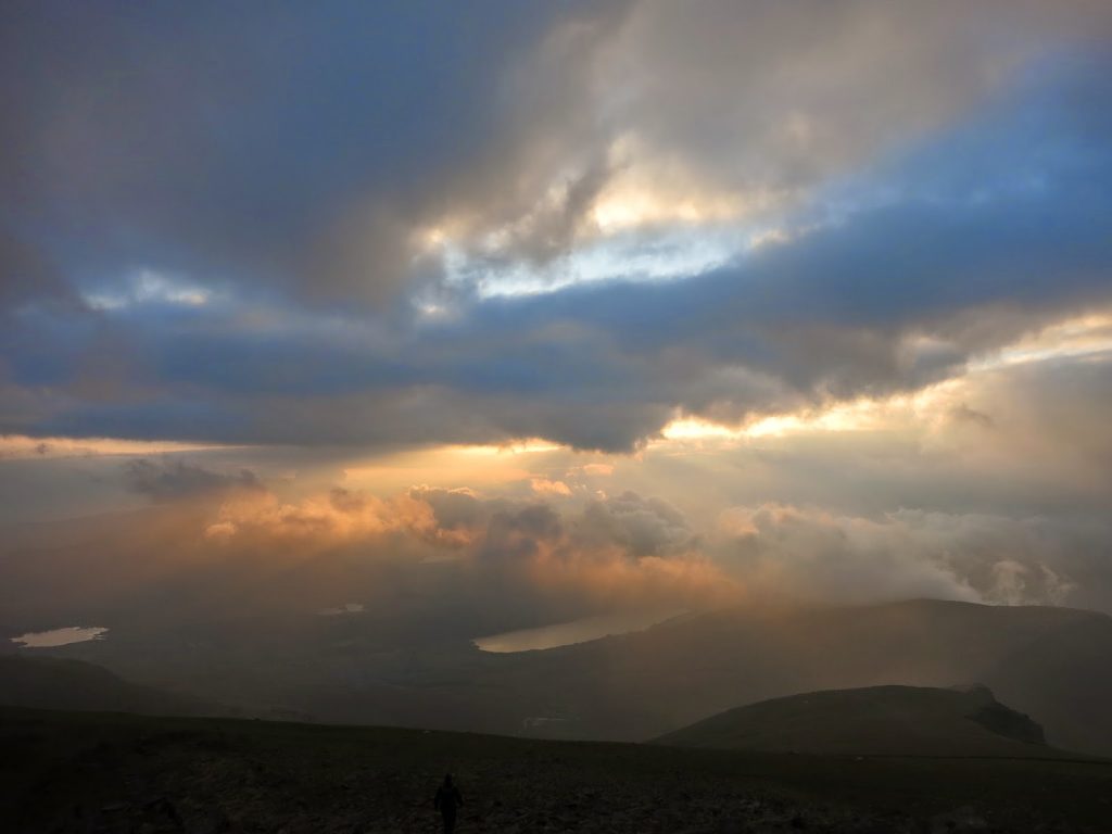 |
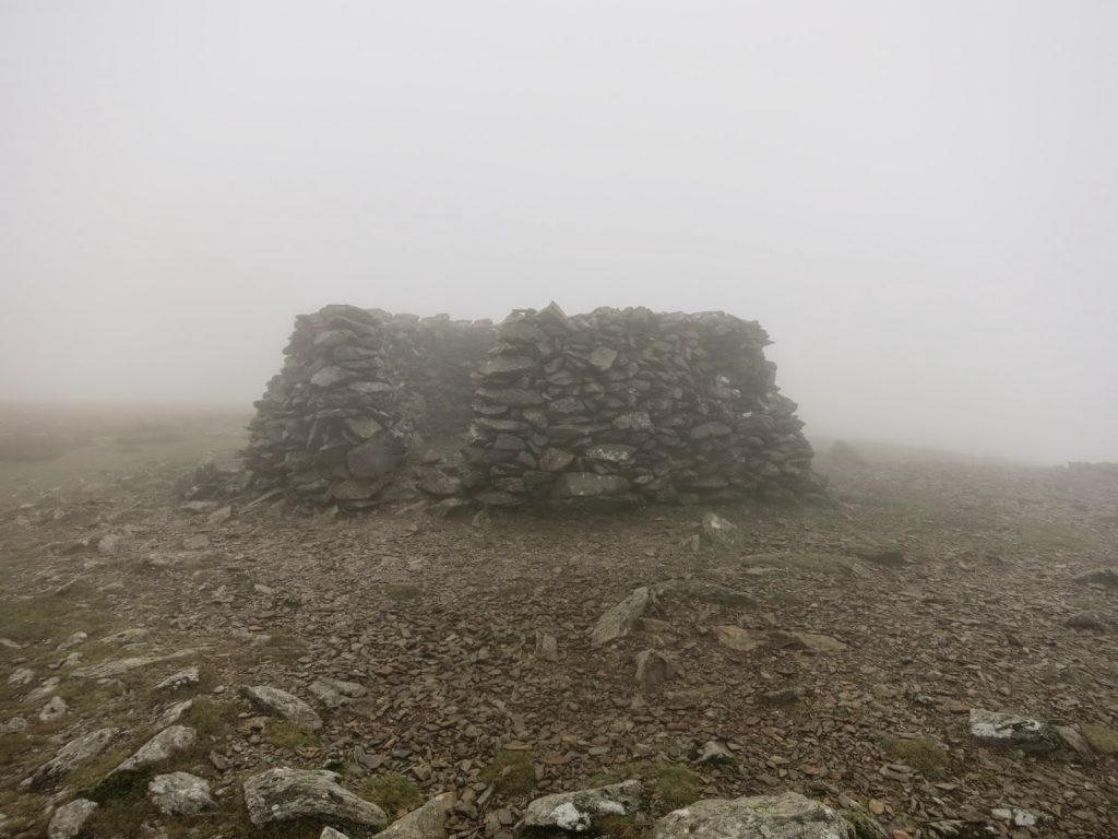
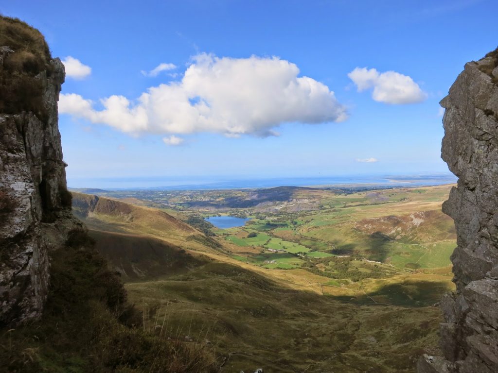
| High pressure system arrives |
After a well-earned rest for some malt loaf 200 or so metres
below the summit (this is a guess as it was still very cloudy!), and no longer
being able to distinguish sweat from water vapour, I made the final push for
the top. The weather continued to be poor but the absence of any wind filled me
with optimism (a tell-tale sign that high pressure isn’t far away). And sure
enough, after some rare glimpses of the Western Cwm to the south, the skies
partially cleared at the top of Garnedd Ugain (1065), Snowdon’s sister peak,
revealing spectacularly crisp views of Crib Goch and the Snowdon Horseshoe to
the east and a beautiful yet hazy sunset to the west. The cloud covering the
summit cleared minutes before I arrived and so after climbing Snowdon now 6
times, not once has the top been in cloud! Perhaps I’ve just jinxed it… On Ben
Nevis it’s the exact opposite.
 |
| Backtracking after Garnedd Ugain |
It was getting late now, and everything was beginning to
ache, (not a good sign this early on). Descending Snowdon via the Southern
ridge along seemed much harder than the previous times I’d walked it; the
scrambly bits were much demanding due to a large backpack and tiredness was most
certainly setting in. By the time I’d reached the col between Snowdon and Yr
Aran I was knackered and it was almost pitch dark. I’d like to say that I put the tent up in
record time due to all that practice in Morocco but I wasn’t even close! After
a boil in the bag pasta and some contingency planning for the next day, I was
fast asleep by 10pm.
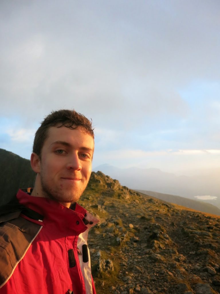 |
| Not quite a summit selfie |
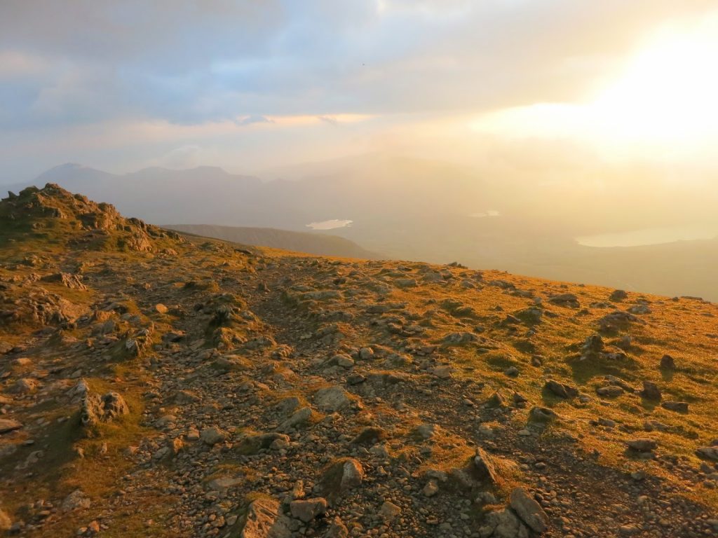
Unzipping my tent next morning, I was greeted with the best
weather I’d ever seen in Wales. Views of the Nantle ridge were impossibly crisp
and as I reached the top of Yr Aran after a short, cereal bar fuelled climb,
the whole of the Mowlyns came into view with the obvious mountain of Cnicht
protruding into the deep blue sky. The next two days of my route were visible
before me, and to say it was slightly daunting would be the understatement of
the century. The sun was surprisingly hot for 9am, however I wasted no time in
beginning what I thought would be a simple gradual descent towards the
sprawling Beddgelert Forest. In fact, the terrain was annoyingly speed then
gradual then steep, etc… After over an
hour and a half, I made it to the road and took great pleasure in purifying
some fresh Welsh stream water, as I’d been out of the stuff since the Yr Aran
summit.
 |
| View from the tent in the morning! |
The walk through the forest should have been a simple one if
I’d taken the new path, which must have been built in the last year as it
wasn’t on the map or there last time I visited the area. Instead, I made a meal
of it by getting slightly lost in some wet undergrowth. Nevertheless, I made it
to the lower slopes of one of the numerous Y Garn’s, Snowdonia has to offer, and
started the long climb which seemed far more than 400m in ascent.
 |
| Mowlyn mist |
With the midday sun beating down on my back and the gradient
seemingly ever increasing, I realised that I may have bitten off quite a lot
more than, at the time, I could chew. On the one hand I felt that I could cope
with the ascents much more easily than normal due to increased cardio-vascular
fitness (from Morocco’s high altitude), yet on the other I felt physically
drained, which was probably a result of not getting the normal quality of sleep
for 2 and a half weeks – something which takes more than a few days to recover
from.
 |
| My route for the day |
Nevertheless, I continued upwards to the ridge, where the
views towards Caernarfon and Anglesey were absolutely stunning, something that
I had become strangely used to after the Atlas. After a quick stop for a much
needed tuna wrap on the third peak, I descended the easy yet steep grassy ridge
towards the Moel Hebog massif. In doing so I passed two fell runner who were ‘reccy-ing’
(how do you write that!?) the Paddy in the opposite direction. There
encouraging comments and information about Mowlyn timings at first filled me
with optimism, but alas this was terribly short lived.
 |
| Moel hebog |
In my delirious, sweaty state, I almost forgot that the round
included the pathetic ‘peak’ of Y Gyrn. After a slight detour and some serious
off piste steep walking, I got to the top and gazed up in despair at the un-pathed
boulder field that was to be my route up Moel Lefen. Perhaps on another day I’d
have chosen a more accessible route but as it was, the subsequent scrambling broke
me. After arriving at a fence 100m or so up, still not a path was in sight. Felling
absolutely spent, and having toyed with the idea for a few hours, a combination
of post Morocco fever, an increasing lack of determination, and the fact that I
was very behind pace wise, meant that I decided to call it a day here. I simply
couldn’t be bothered with all this walking and had a long, enjoyable rest. After
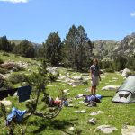
descending a well-known forestry route to Rhyd Ddu, I set up camp in a lakeside
campsite and had a pleasant yet seemingly sub-zero night.
included the pathetic ‘peak’ of Y Gyrn. After a slight detour and some serious
off piste steep walking, I got to the top and gazed up in despair at the un-pathed
boulder field that was to be my route up Moel Lefen. Perhaps on another day I’d
have chosen a more accessible route but as it was, the subsequent scrambling broke
me. After arriving at a fence 100m or so up, still not a path was in sight. Felling
absolutely spent, and having toyed with the idea for a few hours, a combination
of post Morocco fever, an increasing lack of determination, and the fact that I
was very behind pace wise, meant that I decided to call it a day here. I simply
couldn’t be bothered with all this walking and had a long, enjoyable rest. After
descending a well-known forestry route to Rhyd Ddu, I set up camp in a lakeside
campsite and had a pleasant yet seemingly sub-zero night.
 |
| The start of the Nantle ridge |
Over the next few days I decided to explore north Wales and
relax, for a change. Caernarfon Castle along with the walled town was pretty
stunning, something that couldn’t be said for Llanfairpwllgwyngyllgogerychwyrndrobwllllantysiliogogogoch.
After walking over the Menai Bridge, spending some time in Llandudno and buying
a heavily reduced coat in Trespass, I walked to Colwyn Bay via the Little Orme
in very pleasant conditions and hopped my very cheap, advanced train back to
Bristol.
 |
| Caernarfon from Nantle |
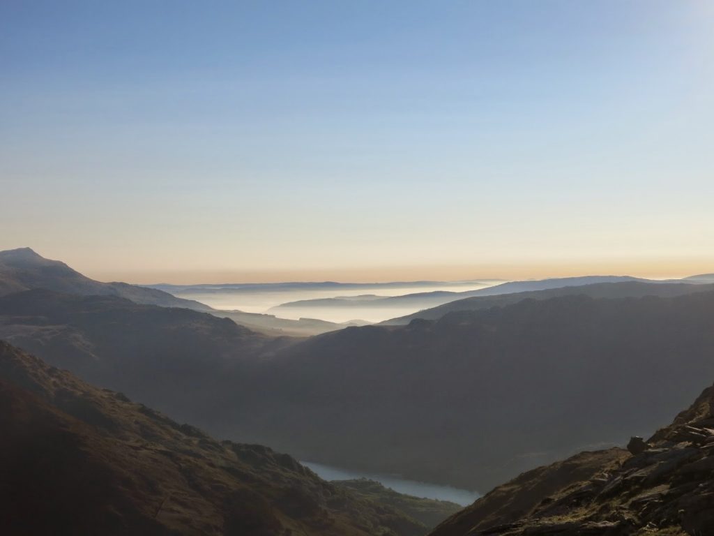
The challenge is certainly do-able, camping. But next time a much more stringent plan with predicted timings and distances is without doubt required, and five full walking days. Also a serious level of fitness is required so some training would come in handy. Before next time I’d try and explore the Mowlyns a bit as the nav there is apparently quite tough, in comparison. All in all it was a great trip with superb weather, and I couldn’t recommend North Wales in the summer more highly (just don’t forget it’s not the lake bagging season and camp high to avoid the midges!).
Here are some more pictures:
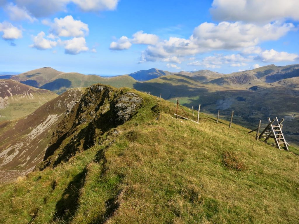 |
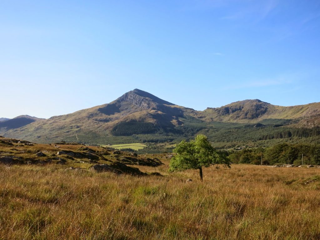
| Looking north towards Moel Eilio and the Glyders |
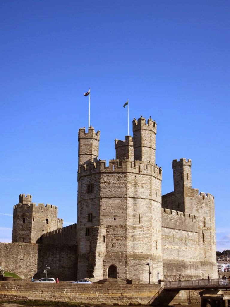 |
| Caernarfon Castle |
 |
| The Menai Bridge |
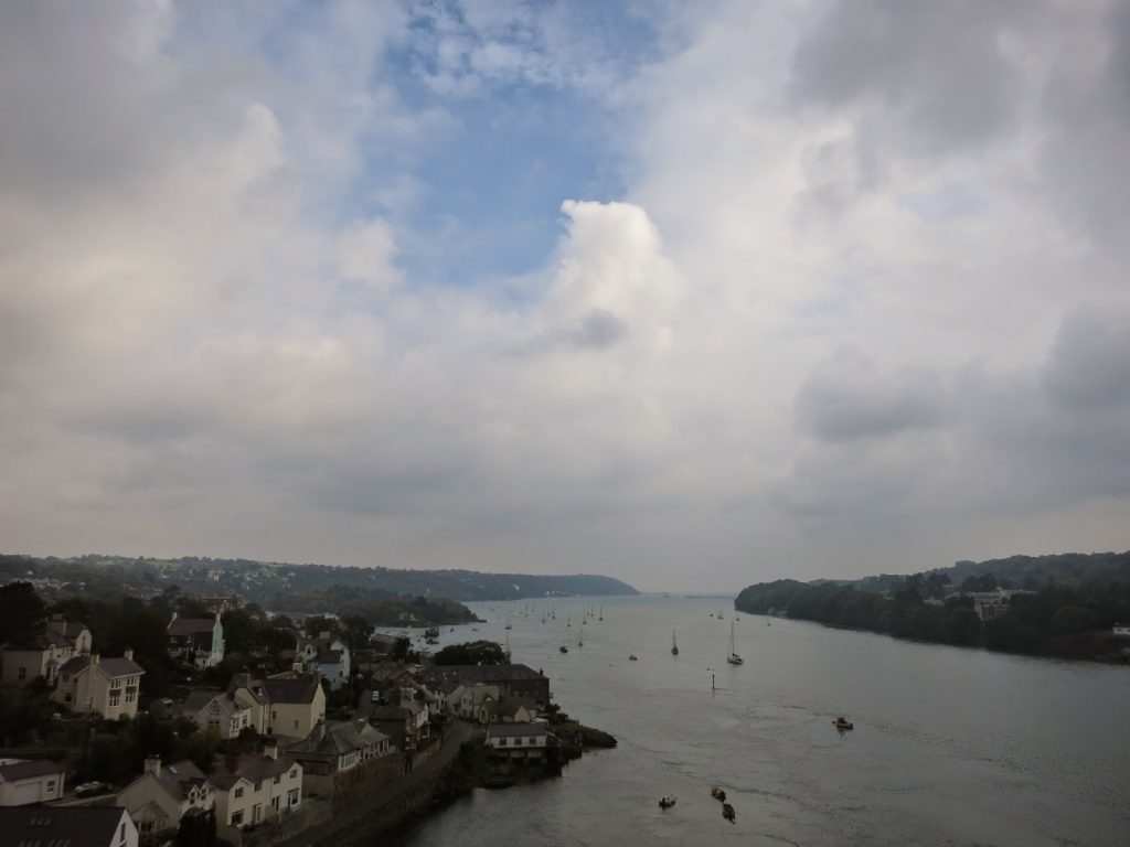 |
| The Menai Straits |
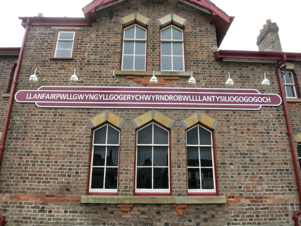 |
| The famous station house |
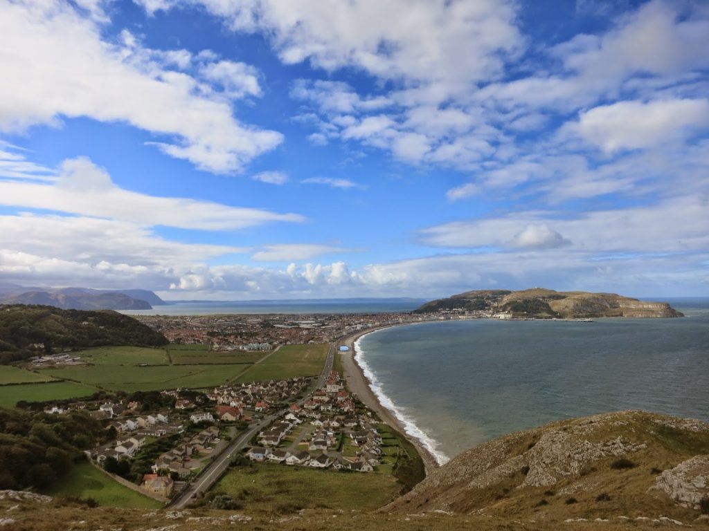 |
| Llandudno and the Great Orme |
 |
| Little Orme Quarry |
 |
| A very small charch |
 Previous Post
 Next Post